#13 Cowm Reservoir and Rushy Hill
Distance - 8.97 Miles
Ascent - 484 Metres
My first walk of the year and for me was my Christmas Walk, I worked all Christmas so only got my pressies the day before! The weather was grim (foggy) but surprisingly dry for Whitworth, the land was sodden but for once none was falling from the skies. The track round the Cowm reservoir is well maintained and flat (once you have walked to the top of the dam!). It's a popular dog walk area but was fairly quiet and remarkably free from Dog poo bags dumped in trees!
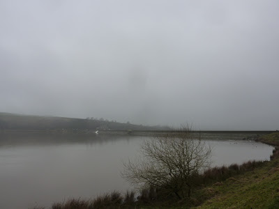 |
| Foggy Cowm Reservoir |
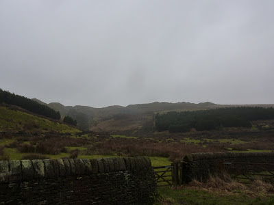
After a lap round the reservoir we took a track out of the back of the res which follows an old quarry road. This area was very wet underfoot, with water flowing out of what seemed every part of the hillside.
The surrounding hills are full of old and active quarries and our first destination was the old Thurns Head Quarry. The old quarry trackway leads up the hillside and is now a bridlepath, however the almost constant rain in the area has left the stone flags amazingly slippy. Thurns Head quarry is part of the VALLEY OF STONE (dare you to say it without doing a movie trailer voice...!) project highlighting the history of the area.
 |
| Thurns Head quarry |
On top of the quarry sits a nice shelter giving views across the valley (on a good day) towards Brown Wardle. The fog was gradually clearing and at this point blue sky was spotted! Bess (sisters border collie) was having a fine old time running all over. I had to be careful with the sheep as she does take an interest in them and as she isn't mine I don't have the trust that she will follow commands (better safe than sorry).
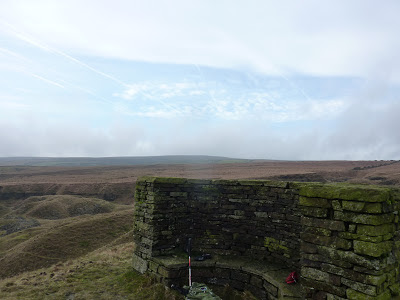 |
| Thurn Head shelter, looking towards Rooley Moor |
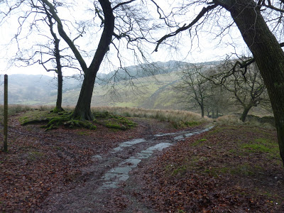
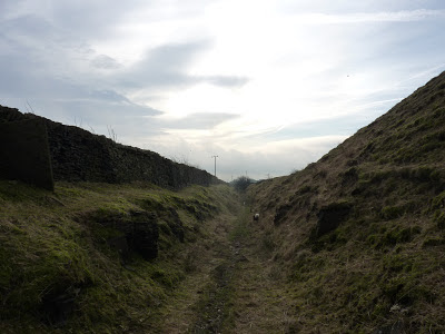
The old trackway heads towards Hall fold along a steep sided cutting before breaking out onto the road. We dropped into the valley and straight up the other side heading up Waingap towards Lobden. There are multiple paths and bridleways around here, making it at times confusing. The path we took was around the edge of Lobden golf course (must be one of the most exposed golf courses!).
 |
| Towards Hall Fold |
|
The path brought us round Rushy Hill into a small hamlet of Nar End. This was one of those tiny places that you have no idea they are there until you wander through them. We took a right turn onto the Pennine Bridleway and headed back up hill to the golf course. From there it was a short walk back home, where the dog had to be washed under the hosepipe, oops!
 |
| Coming out the back of Cowm |
 |
| Damp quarry trackway |
 |
| Even damper trackway |
 |
| Fairly steep slippy track below Thurn Head |
 |
| Towards Hall Fold |


No comments:
Post a Comment